
Submitted:
08 December 2016
Posted:
09 December 2016
You are already at the latest version
Abstract
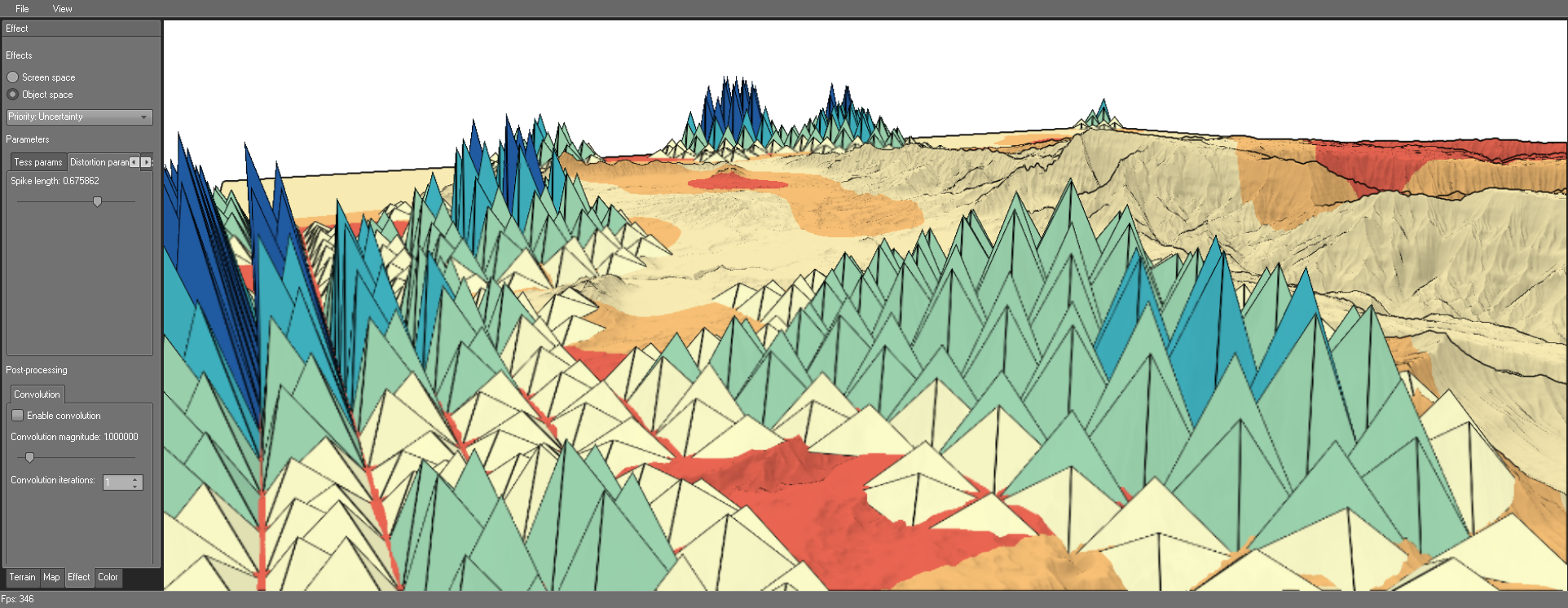
Visualizing geo-spatial data embedded into a three-dimensional terrain is challenging. The problem becomes even more complex when uncertainty information needs to be presented as well. This paper addresses the question of how to visually communicate all three aspects: the 3D terrain, the geo-spatial data, and the data-associated uncertainty. We argue that visualizing all aspects with a high degree of detail will likely exceed the visual budget. Therefore, we propose a visualization strategy based on prioritizing a selected aspect and presenting the remaining two with less detail. We discuss various design options that allow us to obtain differently prioritized visual representations. Our approach has been implemented as a tool for rapid visualization prototyping in the context of avionics applications. Practical solutions are described for a use case related to the visualization of 3D terrain and uncertain weather data.
Keywords:
visualization
; terrain rendering
; geo-spatial data
; uncertainty
; prioritization
Copyright: This open access article is published under a Creative Commons CC BY 4.0 license, which permit the free download, distribution, and reuse, provided that the author and preprint are cited in any reuse.


