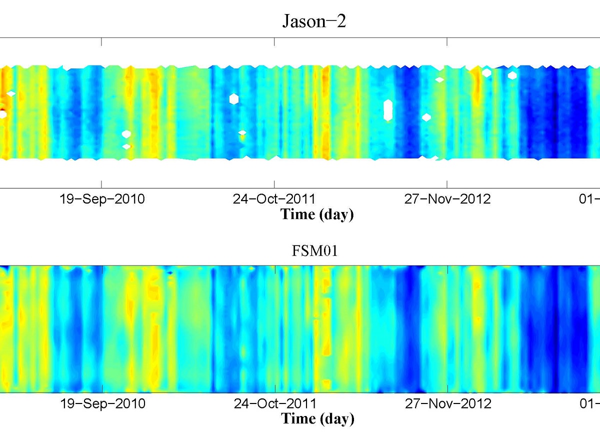
An improved FSM method is used in geophysical and environmental corrections to enhance the final product of the along track Jason-2 SLA data and extend it near the Red Sea borders. In this study the ionospheric correction range, wet tropospheric correction range, sea state bias correction range and dry tropospheric correction range are enhanced and improved using FSM01, which helped to retrieve three more tracks (106, 170 and 234), earlier neglected by the distribution centers, and extend the tracks towards the coast. The FSM01 SLA is compared with Jason-2 SLA and AVISO SLA for the available 5 tracks, in which the FSM01 SLA show a good agreement and higher correlation with the Jason-2 SLA compared with that of AVISO, in addition to that it fills the gaps in the times series of all tracks. The new retrieved tracks also compared with those retrieved by AVISO, both data show similar variability, with FSM01 SLA show no gaps in the time series. The FSM01 SLA also extended towards the coast and show high correlation with the coastal tide measurements.

