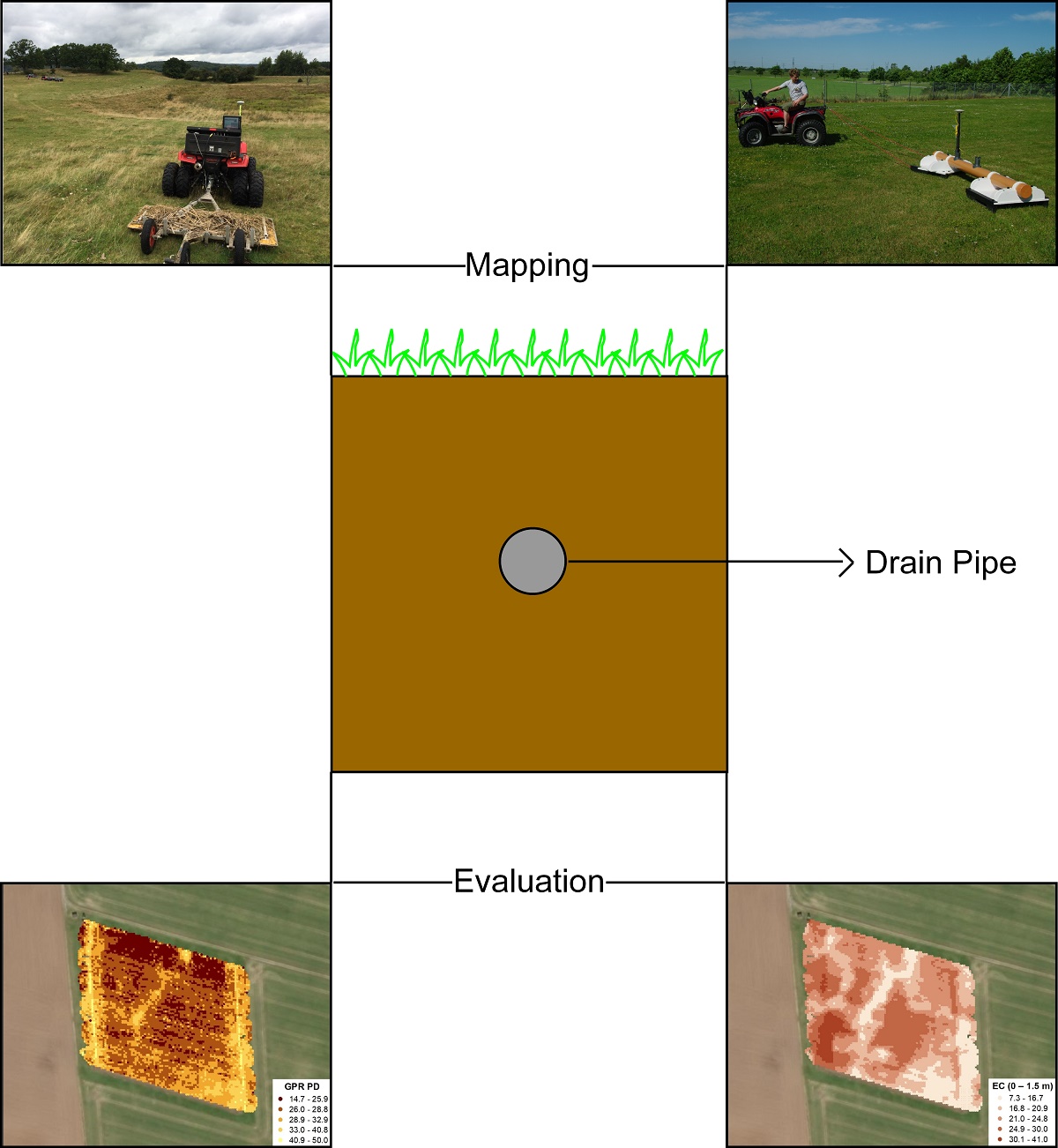
Subsurface drainage systems remove excess water from the soil profile thereby improving crop yields in poorly drained farmland. Knowledge of the position of the buried drain lines is important: 1) to improve understanding of leaching and offsite release of nutrients and pesticides, and 2) for the installation of a new set of drain lines between the old ones for enhanced soil water removal efficiency. Traditional methods of drainage mapping involve the use of tile probes and trenching equipment. While these can be effective, they are also time-consuming, labor-intensive, and invasive, thereby entailing an inherent risk of damaging the drainpipes. Non-invasive geophysical soil sensors provide a potential alternative solution. Previous research has focused on the use of time-domain ground penetrating radar (GPR), with variable success depending on local soil and hydrological conditions and the central frequency of the specific equipment employed. The objectives of this study were 1) to test the use of a stepped-frequency continuous wave (SFCW) 3D-GPR (GeoScope Mk IV 3D-Radar with DXG1820 antenna array) for subsurface drainage mapping, and 2) to evaluate the performance of a 3D-GPR with the use of a single-frequency multi-receiver electromagnetic induction (EMI) sensor (DUALEM) in-combination. The 3D-GPR system offers more flexibility for application to different (sub)surface conditions due to the coverage of wide frequency bandwidth. The EMI sensor simultaneously provides information about the apparent electrical conductivity (ECa) for different soil volumes, corresponding to different depths. This sensor combination was evaluated on twelve different study sites with various soil types with textures ranging from sand to clay till. While the 3-D GPR showed a high success rate in finding the drainpipes at five sites (sandy, sandy loam, loamy sand, and organic topsoils), the results at the other seven sites were less successful due to limited penetration depth (PD) of the 3D-GPR signal. The results suggest that the electrical conductivity estimates produced by the inversion of ECa data measured by the DUALEM sensor could be a useful proxy to explain the success achieved by the 3D-GPR in finding the drain lines. The high attenuation of electromagnetic waves in highly conductive media limiting the PD of the 3D-GPR can explain the findings obtained in this research.

