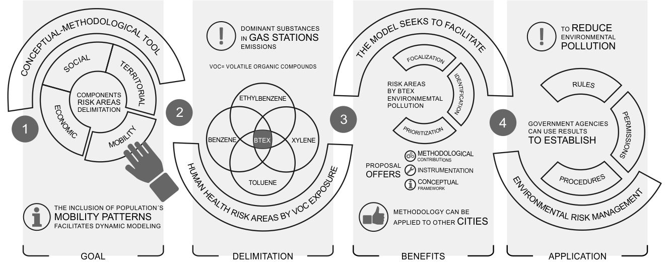
The population’s mobility in urban areas is a necessary variable in the modeling of risk scenarios caused by atmospheric contamination. The inclusion of this concept makes static models more dynamic while considering people within a city to be an entity with complex mobility processes. We propose a conceptual and methodological tool to make the representation of the social, economic and territorial components, as well as the patterns in the population´s mobility to delimitate risk areas for human health by exposure of contaminants. In the volatile organic compounds (VOC), benzene, ethylbenzene, toluene and xylene (BTEX) are amongst the most dominant substances in fugitive vapor emissions in gas stations (GS). In urban areas, the exposure to BTEX by residential proximity and proximity to other facilities, which cause intra-urban agglomeration, can impact and affect human health. This model seeks to facilitate the focalization, identification and prioritization of risk areas by BTEX environmental contamination. This article goes beyond de conceptual framework. It suggests methodological and instrumental aspects to be applied in other cities. The government agencies must consider these results when establishing rules, permissions and procedures to reduce environmental pollution for managing the risk in a complex urban environment.

