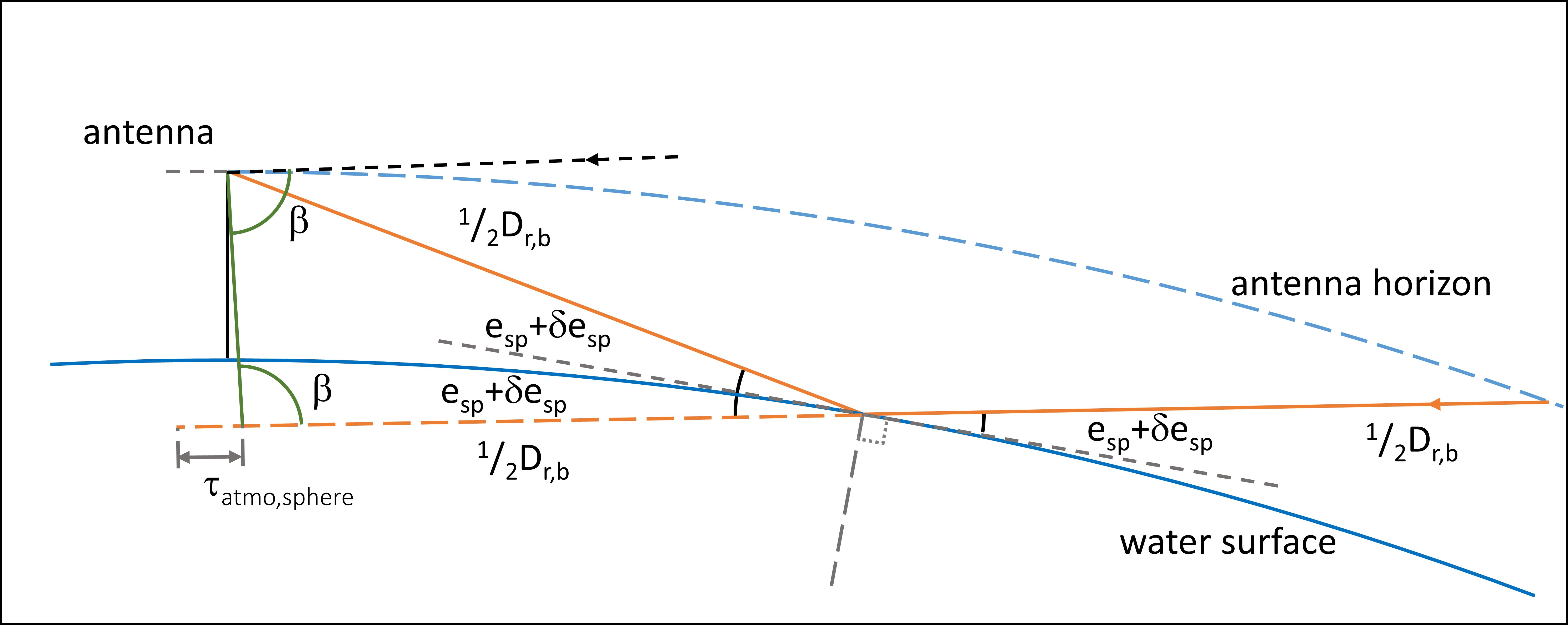
The application of signal-to-noise ratio (SNR) observations from ground-based GNSS Reflectometry is becoming an operational tool for coastal sea-level altimetry. As in all data analyses, systematic influences must be reduced here too, to achieve reliable results. A prominent influence results from atmospheric refraction. Different approaches exist to describe or to correct for this influence. In our contribution we will revise the latest developments and suggest a simple atmospheric interferometric delay model that takes into account ray bending as well as along-path propagation delay. The model takes into account a spherical reflector and can therefore be applied for data from very low elevation angles, too. The findings are double-checked by numerical experiments based on a step-by-step raytracing procedure.
Keywords:
Subject: Computer Science and Mathematics - Computer Science
Copyright: This open access article is published under a Creative Commons CC BY 4.0 license, which permit the free download, distribution, and reuse, provided that the author and preprint are cited in any reuse.
Preprints.org is a free preprint server supported by MDPI in Basel, Switzerland.